
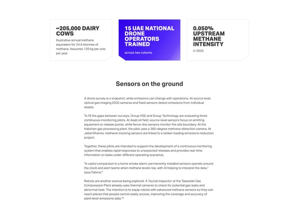
~205,000 dairy cows Illustrative annual methane equivalent for 24.6 ktonnes of methane. Assumes 120 kg per cow per year 15 UAE national drone operators trained across two cohorts. 0.050% Upstream methane intensity in 2025 Sensors on the ground A drone survey is a snapshot, while emissions can change with operations. At source level, optical gas imaging (OGI) cameras and fixed sensors detect emissions from individual assets. To fill the gaps between surveys, Group HSE and Group Technology are evaluating three continuous-monitoring pilots. At Asab oil field, source-level sensors focus on emitting equipment or release points, while fence-line sensors monitor the site boundary. At the Habshan gas processing plant, the pilot uses a 360-degree methane-detection camera. At Jebel Dhanna, methane-tracking sensors are linked to a tanker-loading emissions-reduction project. Together, these pilots are intended to support the development of a continuous monitoring system that enables rapid responses to unexpected releases and provides real-time information on leaks under different operating scenarios. “A useful comparison is a home smoke alarm: permanently installed sensors operate around the clock and alert teams when methane levels rise, with AI helping to interpret the data,” says Fatima.* Robots are another avenue being explored. A Taurob inspector at the Taweelah Gas Compression Plant already uses thermal cameras to check for potential gas leaks and abnormal heat. The intention is to equip robots with advanced methane sensors so they can reach places that people cannot easily access, improving the coverage and accuracy of plant-level emissions data.**
 Tracking methane from sky to sensor Page 7 Page 9