
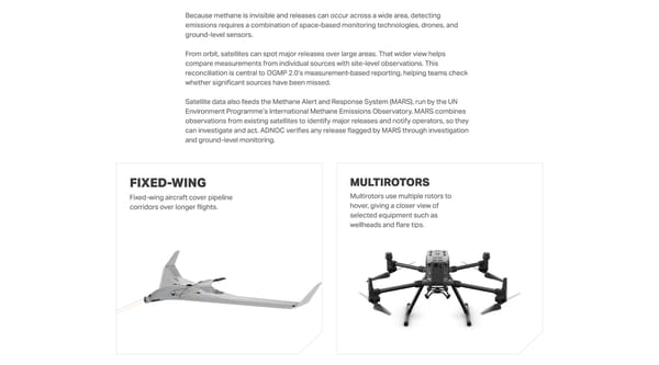
Because methane is invisible and releases can occur across a wide area, detecting emissions requires a combination of space-based monitoring technologies, drones, and ground-level sensors. From orbit, satellites can spot major releases over large areas. That wider view helps compare measurements from individual sources with site-level observations. This reconciliation is central to OGMP 2.0’s measurement-based reporting, helping teams check whether significant sources have been missed. Satellite data also feeds the Methane Alert and Response System (MARS), run by the UN Environment Programme’s International Methane Emissions Observatory. MARS combines observations from existing satellites to identify major releases and notify operators, so they can investigate and act. ADNOC verifies any release flagged by MARS through investigation and ground-level monitoring. Fixed-wing Fixed-wing aircraft cover pipeline corridors over longer flights. Multirotors Multirotors use multiple rotors to hover, giving a closer view of selected equipment such as wellheads and flare tips.
 Tracking methane from sky to sensor Page 3 Page 5